ALPINE LAKES OF GLACIAL ORIGIN
FUSINE LAKES
In the physical environment of the Fusine basin, the elements on which attention should be focused are: the glacial morphology and the geological-structural arrangement of the Mount Mangart chain.
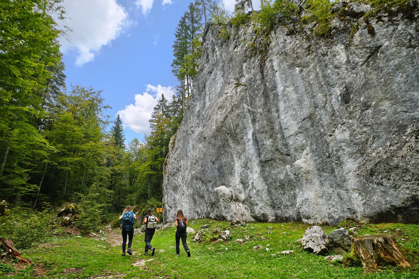
In the vast glacial cirque where the lakes are located we find, evident and spectacular, the landscape forms created by the action of the ancient glacier that filled the valley. The two lakes occupy a vast glacial cirque and are supported by notreally developed moraine cordons. The frontal cordon, which is the main one, bars the Lower Lake and rises over 120 meters above the valley floor.
Along with the two larger lakes are two other small bodies of water, hidden in the forest, in the northern area. Surface watercourses are almost entirely absent; the lakes are essentially fed underground by snow and rainwater from the backwaters of the Mangart range. The connection between the Upper and Lower Lakes is also underground. The difference in elevation between the two lakes is about five meters. Downstream of the Lower Lake there are numerous copious springs that flow from the moraine going to feed the turbulent Rio del Lago.
The area consists of moraine soils on detrital strata, referable to the Quaternary period and Mesozoic rocks. These soils are also recent, geologically speaking, in that they originated in part in the last 10,000 years while the rocks constituting the substrate of the basin and the mountain range that closes it originated about 200 million years ago on the sea floor that then occupied these areas.
The chain, from Ponza Grande (2274 m.) to Mangart (2677 m.), is formed of carbonate rocks (dolomites and limestones). While in the dolomites (Main Dolomite), which form, among other things, a large part of the wall of the Mangart, the massive stratification, in the limestones (Dachstein Limestones) it is very pronounced, resulting in a clear differentiation within the chain even to the uninitiated eye. The structure of the Mangart Group is one of the clearest examples of the overthrusting and overlapping that occurred in the uplift phase of the Alpine chain.
SWIMMING : Diving in the two lakes is strongly recommended to be avoided, as it could severely damage the echo systems present.
Erratic Boulders
In the glacial deposits between the lakes are some truly colossal-sized erratic boulders, among the largest in the entire Alpine arc.
The two largest bear the names of two distinguished and valuable scholars of the past (Pirona and Marinelli).
A volume of more than 30,000 cubic meters has been estimated for the Pirona boulder.
RAIBL LAKE
Raibl (or Predil) Lake is located about 10 kilometers south of Tarvisio, in an ancient glacial basin at an elevation of 960; it is subrectangular in shape and measures m. 1300 ca. x 500. It reaches a maximum depth of 35 meters. Its surface area is 59 hectares. The waters are clear and cold, deep blue-green in color; a small island, a relict of a partly destroyed, partly submerged moraine arch, locally determines a very striking landscape. The phase of climatic hardening that followed glaciation and lasted from 16,000 to 13,300 years ago led to the formation of small glacial cores and gave rise to frontal moraine accumulations, termed "stadial." To these morainal cordons the lake owes its origin. Water from the stream formed the largest body of water in the Valcanale. The southern part consists of a vast gravelly alluvial deposit dotted with willows and other lake shrubs. This area is constantly affected by inputs of sandy-gravel materials that produce progressive silting. Characteristic of the lake is its variable water level. In fact, depending on the seasons and weather events, it can happen that large areas are for long periods, totally covered with water or entirely dry. Under these conditions only a few plants manage to adapt. These include, precisely, willow, alder and juniper.
BALNEABILITY
In 2021, the process of including the lake as one of the region's bathing sites began, which involves several rounds of monitoring and sampling before the classification of suitability.
It verifies the quality of bathing water on the
ARPA FVG website.

WATER COURSES
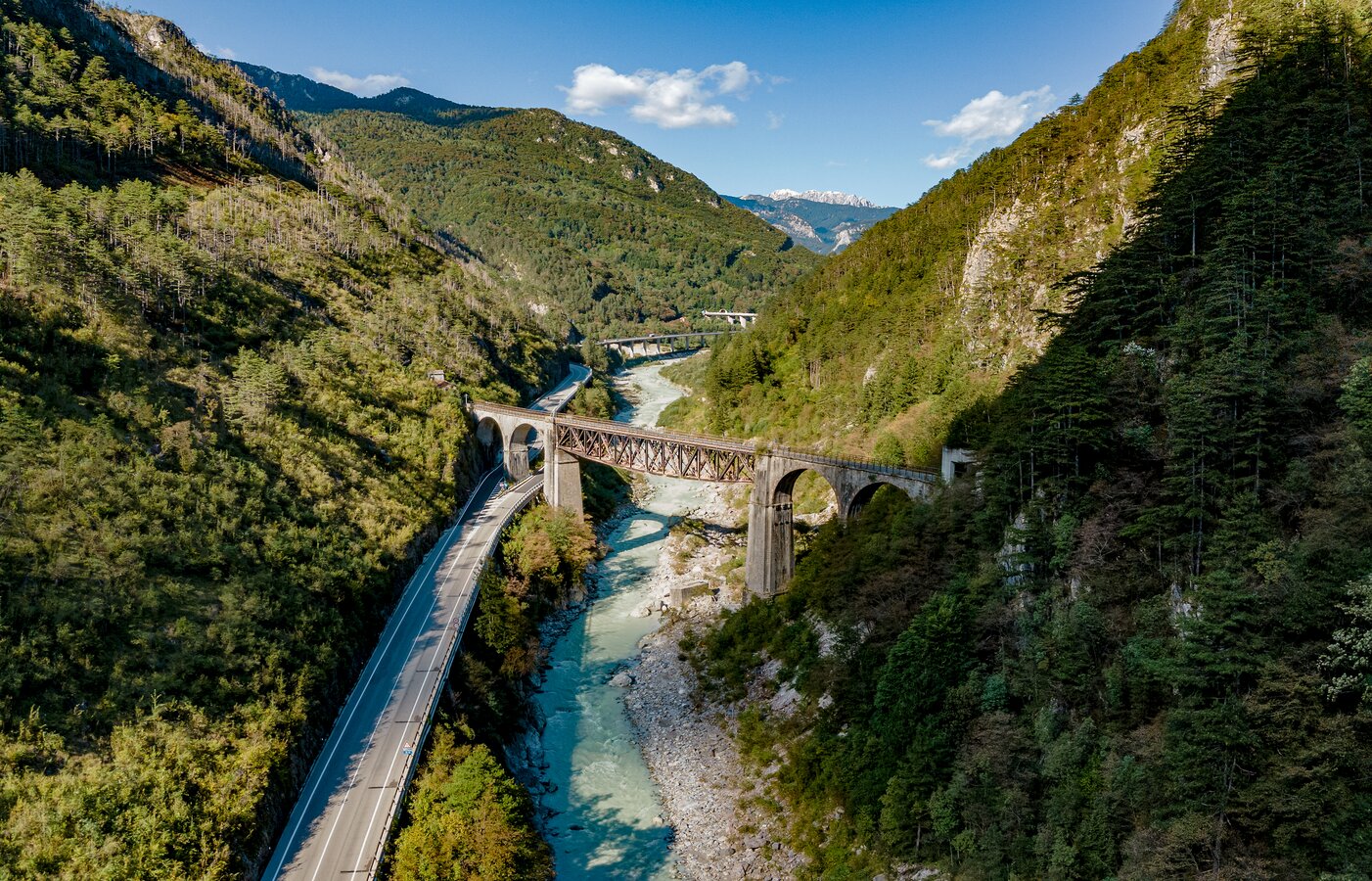
The hydrography of the territory is characterized by the presence of two main watercourses, the Fella River and the Slizza stream to which are added smaller streams and torrents, tributary to them, of torrential character.
The waters of the Tarvisian drain partly to the Mediterranean Sea through the course of the Fella, a tributary of the Tagliamento, and partly to the Black Sea through the course of the Slizza stream, a tributary of the Drava-Danube system; The Camporosso Saddle marks the watershed between the Adriatic-Mediterranean and Danubian basins.
Take the opportunity to learn more about the interesting karst phenomenon of groundwater through an evocative cave experience: the spectacular Fontanon di Goriuda in Val Raccolana is where much of the water of the Canin Plateau flows out. We recommend appropriate clothing, warm clothes and hiking boots.
FELLA RIVER
The Fella River originates near Valbruna from the union of several smaller streams, the most important of which is the Saisera stream. At the beginning, and thus for the entire stretch concerning Valcanale - between the sources and Pontebba - its characteristics are those typical of an alpine stream with average depths ranging from 50 to 100 cm. From Pontebba downstream - along the Canal del Ferro -, also due to the contribution of numerous tributaries, it rapidly turns into a river, always however with characteristics similar to a large stream. The bed widens, the course divides into several branches and becomes rather rough. The bed is characterized by a medium-small pebble bed of a white color that is very noticeable compared to that of many other rivers. This is where the name of the waterway originated from since ancient times.
The pre-Latin root -fel and the Slovenian Bela mean white, clear, bright. From those derive the ancient terms of Fellach (German), Fele (the latter Friulian), later to become Fela, Fella. The Fella flows into the Tagliamento at Station for Carnia in the municipality of Venzone. From Pontebba to Camporosso the surface drainages of the valley floor (Fella River) flow towards Pontebba (West). From Camporosso onward they proceed in the opposite direction toward Tarvisio (Rio Bartolo and Torrente Slizza). The former, joining the waters of the Tagliamento River, flow into the Adriatic Sea; the latter, flowing into the Gail River (Austria), after 2000 km via Drava-Sava-Danube, reach the Black Sea.
Fish-wise, in the Fella there are Brown and Rainbow Trout in the upper reaches; from Pontebba downstream there is Marbled Trout and Grayling from Chiusaforte to Resiutta.
It is precisely at Camporosso that transversely across the valley lies the first-order watershed between the "Adriatic Sea and the Black Sea.
The Tarvisian sector (about 100 sq km) is the only portion of Italian territory (if we exclude the small Fiscalina Valley, in Alto Adige) whose waters are drained to a sea other than the Mediterranean.
THE RIO LAGO SLIZZA
The Rio del Lago-Slizza with its sub-basins, canal Bartolo, Rio Bianco and Rio Freddo, develops, in the municipality of Tarvisio, in the extreme north - eastern portion of the territory and conveys the waters towards the NE, into the Gail and then into the Drava, belonging to the Danubian hydrographic system, in Austrian territory.
The Rio del Lago, a tributary of Lake Raibl whose origin is due to moraine dams and the presence of a rocky threshold, is characterized by a considerable gravelly-sandy input that produces a progressive silting up to the west. From the lake the Rio, now an emissary, resumes its course along the valley floors of Cave and Riofreddo, from where the watercourse takes the name Slizza.
The Rio del Lago-Slizza is a typical watercourse with a torrential regime, with highly variable flow depending on meteoric precipitation. Its riverbed consists of alluvial deposits formed by pebbles, gravels, and frequent giant boulders. The latter are formed by tuffaceous sandstone, tuff, porphyry and quartziferous sandstone in red, green and gray varieties. This is a sign of a very distant, intense underwater volcanic activity.
The Slizza, in the section between Tarvisio Basso and Tarvisio Centrale, forms peculiar inlets and bends as a result of erosion and transport phenonenes.
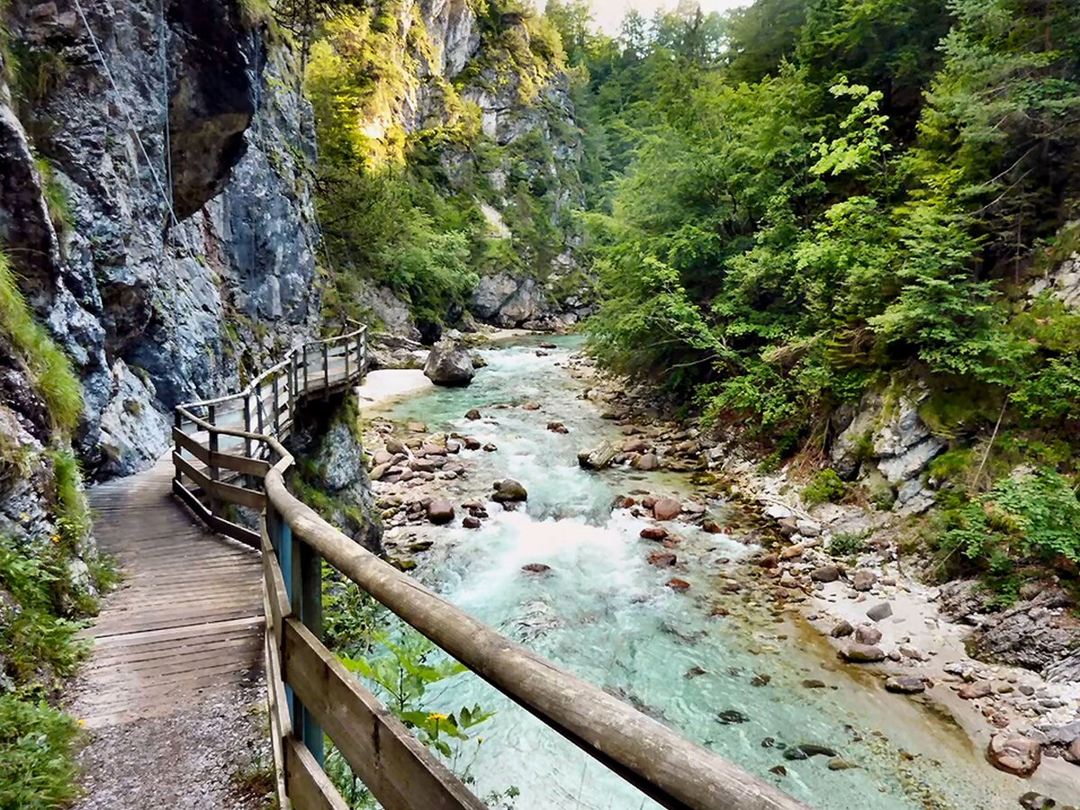
This is the area of the Slizza Gorge, a particular environment formed during various geological eras and that we could compare to a small canyon.
The Orrido can be visited thanks to an evocative path with tunnels carved into the rock. The path is about 2 km long and does not present technical difficulties, but the use of suitable footwear is recommended given the slippery terrain.
Trout can be found in the waters of Rio del Lago-Slizza.
Point of arrival
The Tarvisio tourist destination is located in Friuli Venezia Giulia, on the border with Austria and Slovenia
